 |
 |
 |
 |
| FAMILY list (thumbnails) |
 |
 |
 |
 |
| FAMILY list (names only) |
 |
 |
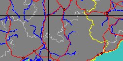
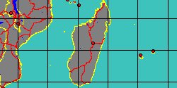
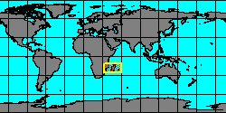
| BELEMNOPSEIDAE (geographic) |
 |
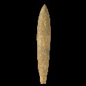
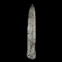
| BELEMNOPSEIDAE (thumbnails) |
|
|
| BELEMNOPSEIDAE (thumb+maps) |
|
|
| BELEMNOPSEIDAE (names only) |
|
|
| BELEMNOPSEIDAE (no synonyms) |
|
|
| BELEMNOPSEIDAE (no variety) |
|
|
Class: CEPHALOPODA
--- Taxon Tree: COLEOIDEA [Subclass] - BELEMNITIDA [Order]
|
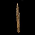
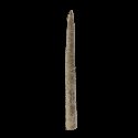
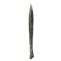
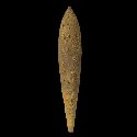
------ Family: BELEMNOPSEIDAE Naef, 1922 † (Sea) (FOSSIL)
DB counters: Genus=2, Subgenus=0, Species=12, Subspecies=1 ( 5 Species and 1 Subspecies have images) |
| ||||||||
| ||||||||
| ||||||||
| ||||||||
| ||||||||
| ||||||||
| ||||||||
| ||||||||
| ||||||||
| ||||||||
| ||||||||
| ||||||||
|