 |
 |
 |
 |
| FAMILY list (thumbnails) |
 |
 |
 |
 |
| FAMILY list (names only) |
 |
 |
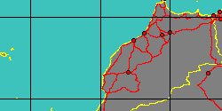
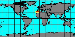
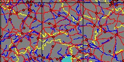
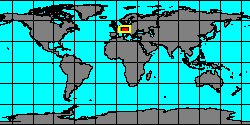
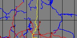
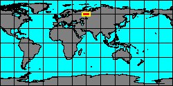
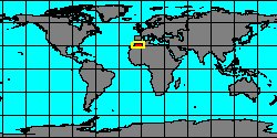
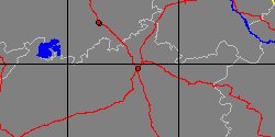
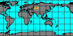
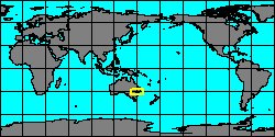
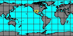
| GATTENDORFIIDAE (geographic) |
 |
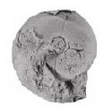
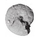
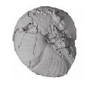
| GATTENDORFIIDAE (thumbnails) |
|
|
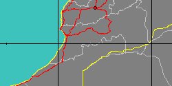
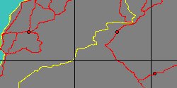
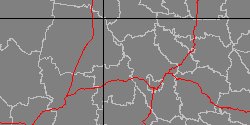
| GATTENDORFIIDAE (thumb+maps) |
|
|
| GATTENDORFIIDAE (names only) |
|
|
| GATTENDORFIIDAE (no synonyms) |
|
|
| GATTENDORFIIDAE (no variety) |
|
|
Class: CEPHALOPODA
--- Taxon Tree: AMMONOIDEA [Subclass] - GONIATITIDA [Order] - PRIONOCERATOIDEA [Superfamily]
|
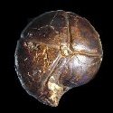
------ Family: GATTENDORFIIDAE Bartzsch & Weyer, 1987 † (Sea) (FOSSIL)
DB counters: Genus=9, Subgenus=0, Species=60, Subspecies=1 ( 6 Species and 0 Subspecies have images) |
| |||||||||||||||||||||||||||||||||||||||||||||
| |||||||||||||||||||||||||||||||||||||||||||||
| |||||||||||||||||||||||||||||||||||||||||||||
| |||||||||||||||||||||||||||||||||||||||||||||
| |||||||||||||||||||||||||||||||||||||||||||||
| |||||||||||||||||||||||||||||||||||||||||||||
| |||||||||||||||||||||||||||||||||||||||||||||
| |||||||||||||||||||||||||||||||||||||||||||||
| |||||||||||||||||||||||||||||||||||||||||||||
| |||||||||||||||||||||||||||||||||||||||||||||
| |||||||||||||||||||||||||||||||||||||||||||||
| |||||||||||||||||||||||||||||||||||||||||||||
| |||||||||||||||||||||||||||||||||||||||||||||
| |||||||||||||||||||||||||||||||||||||||||||||
| |||||||||||||||||||||||||||||||||||||||||||||
| |||||||||||||||||||||||||||||||||||||||||||||
| |||||||||||||||||||||||||||||||||||||||||||||
| |||||||||||||||||||||||||||||||||||||||||||||
| |||||||||||||||||||||||||||||||||||||||||||||
| |||||||||||||||||||||||||||||||||||||||||||||
| |||||||||||||||||||||||||||||||||||||||||||||
| |||||||||||||||||||||||||||||||||||||||||||||
| |||||||||||||||||||||||||||||||||||||||||||||
| |||||||||||||||||||||||||||||||||||||||||||||
| |||||||||||||||||||||||||||||||||||||||||||||
| |||||||||||||||||||||||||||||||||||||||||||||
| |||||||||||||||||||||||||||||||||||||||||||||
| |||||||||||||||||||||||||||||||||||||||||||||
| |||||||||||||||||||||||||||||||||||||||||||||
| |||||||||||||||||||||||||||||||||||||||||||||
|
Author: Claudio Galli - last updated: 26/ago/2017
|