 |
 |
 |
 |
| FAMILY list (thumbnails) |
 |
 |
 |
 |
| FAMILY list (names only) |
 |
 |
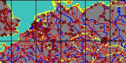
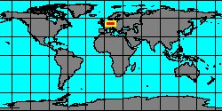
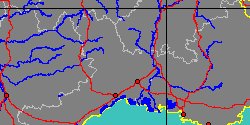
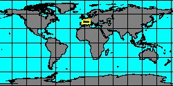
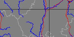
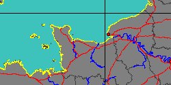
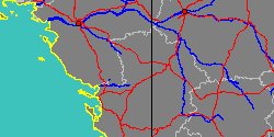
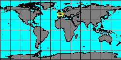
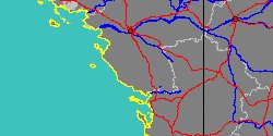
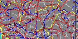
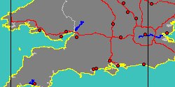
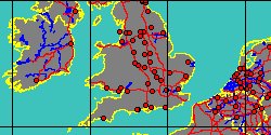
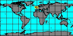
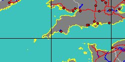
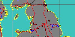
| PERISPHINCTIDAE (geographic) |
 |
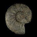
| PERISPHINCTIDAE (thumbnails) |
|
|
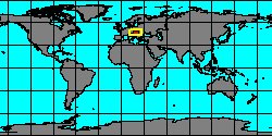
| PERISPHINCTIDAE (thumb+maps) |
|
|
| PERISPHINCTIDAE (names only) |
|
|
| PERISPHINCTIDAE (no synonyms) |
|
|
| PERISPHINCTIDAE (no variety) |
|
|
Class: CEPHALOPODA
--- Taxon Tree: AMMONOIDEA [Subclass] - AMMONITIDA [Order] - PERISPHINCTOIDEA [Superfamily]
|
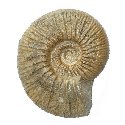
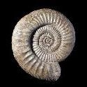
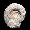
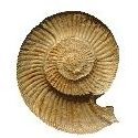
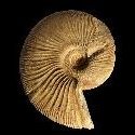
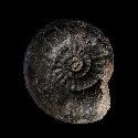
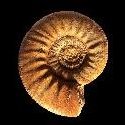
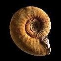
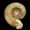
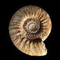
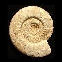
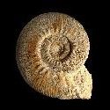
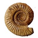
------ Family: PERISPHINCTIDAE Steinmann, 1890 † (Sea) (FOSSIL)
DB counters: Genus=63, Subgenus=13, Species=236, Subspecies=1 ( 139 Species and 1 Subspecies have images) |
| ||||||||||||||||||||||||||||||||||||||||||||||||||||||||||||||||||||||||||||||||||||||||||||||||||||||||||||||||||||||||||||||||||||||||||||||||||||||||||||||||||||||||||||||||||||||||||||||||||||||||||||||||||||||||||||||||||||||||||||||||||||||||||||||||||||||||||||||||||||||||||||||||||||||||||||||||||||||||||||||||||||||