|
|
|
|
|
|
|
|
|
|
|
|
|
|
|
|

|
|
8018000020
Gadila
mucronatus
(FOSSIL)
R. Tate, 1887 †
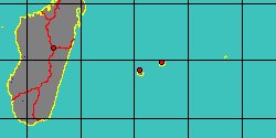
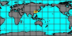
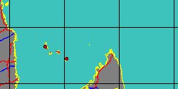
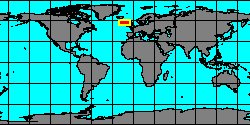
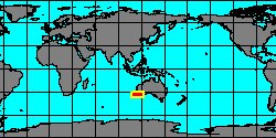
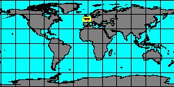
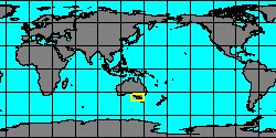
Australia, Victoria,
S. Grampians Bal
|
|
|
|
|
|
|
|
|
|
|
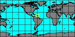
6440350401
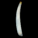
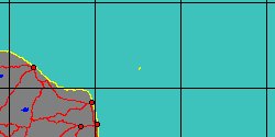
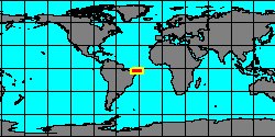
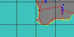
Cadulus
nerta
C.H. Caetano & al., 2006
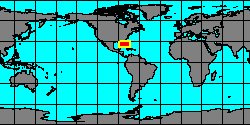
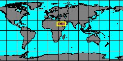
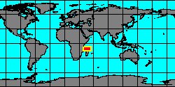
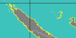
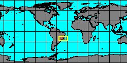
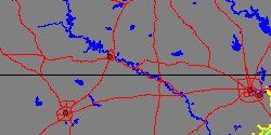
Brazil, Espirito Santo
|
|
|
|
|
|
|
|
|
|
|
|
|
|
|
|
|
|
|
|
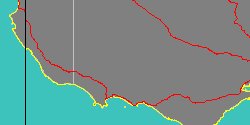
8610000018
Cadulus
orbnutus
(FOSSIL)
(T.A. Conrad, 1869 †)
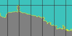
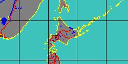
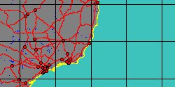
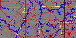
Tennessee, McNairy County
|
|
|
|
|
|
|
|
|
|
|
|
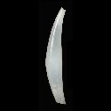
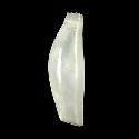
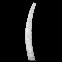
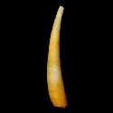
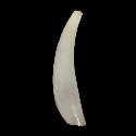
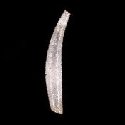
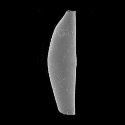
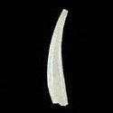
8610000027
Gadila
palmerae
(FOSSIL)
Hodgekinson, 1974 †
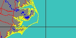
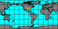
Texas, Bastrop County
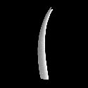
4,8 mm
|
|
|
|
|
|
|
|
|
|
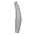
6450000139
Gadila
pandionis
(A.E. Verrill
& S. Smith in A.E. Verrill, 1880)
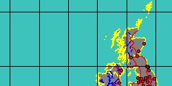
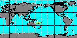
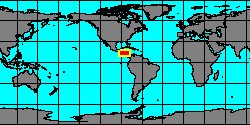
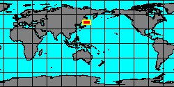
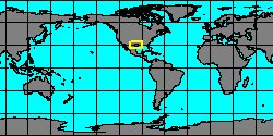
USA, Maine
11 mm
|
|
|
|
|
|
|
|
|
|
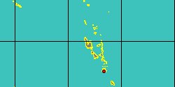
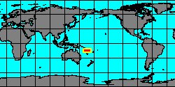
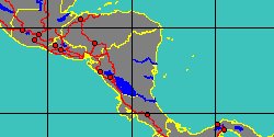
8018000015
Cadulus
parianus
(FOSSIL)
R.J.L. Guppy, 1896 †
|
|
No Georeferenced data available
|
|
|
|
|
|