SubFamily: BATHYMODIOLINAE - Genus: Bathymodiolus Kenk & B.R. Wilson, 1985 (DB: 27 SP, 12 IMG)
|
|
|
SubFamily: BATHYMODIOLINAE - Genus: Benthomodiolus R.K. Dell, 1987 (DB: 4 SP, 2 IMG)
|
|
|
|
SubFamily: BATHYMODIOLINAE - Genus: Gigantidas R. von Cosel & B.A. Marshall, 2003 (syn: Gigantidus - DB: 3 SP, 1 IMG)
|
|
|

|
|
8036000070
Gigantidas
coseli
(FOSSIL)
Saether, C. Little
& al., 2010 †
|
|
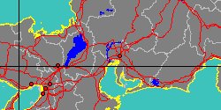
No Georeferenced data available
|
|
|
|
|
SubFamily: BATHYMODIOLINAE - Genus: Tamu D.L. Gustafson, H. Turner, R.A. Lutz & R.C. Vrijenhoek, 1998 (DB: 1 SP, 0 IMG)
|
|
|

|
|
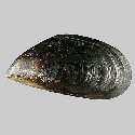
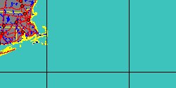
5343351506
Tamu
fisheri
R.G. Gustafson, R.D. Turner, R.A. Lutz
& R.C. Vrijenhoek, 1998
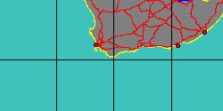
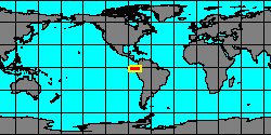
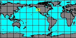
USA, Louisiana
|
|
|
|

|
SubFamily: BRACHIDONTINAE - Genus: Choromytilus T. Soot-Ryen, 1952 (DB: 3 SP, 3 IMG)
|
|
|
SubFamily: CRENELLINAE - Genus: Arcoperna Conrad, 1865 † (DB: 6 SP, 5 IMG)
|
|
|
|
|
|
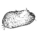
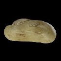
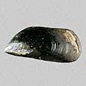
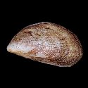
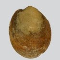
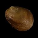
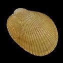
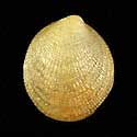
7530000089
Arcoperna
inflata
(FOSSIL)
W.H. Dall, 1916 †
Oregon, Coos bay,
Astoria formation
49 mm
|
|
|
|
|
|
|
|
|
SubFamily: CRENELLINAE - Genus: Arvella P. Bartsch in O.A. Scarlato, 1960 (DB: 8 SP, 3 IMG)
|
|
|
|
|
|
|
|
|
|
7042000007
Arvella
manshurica
P. Bartsch in O.A. Scarlato, 1960
|
|
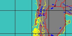
No Georeferenced data available
|
|
|
|
|
SubFamily: CRENELLINAE - Genus: Crenella T. Brown, 1827 (syn: Crenellodon, Myoparo, Nuculocardia, Stalagmium, Hippagus - DB: 28 SP, 9 IMG)
|
|
|
|
|
5343351514
Crenella
abbotti
C.O. Van Regteren Altena,
1968
|
|
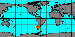
No Georeferenced data available
|
|
|
|
|
|
|
|
5343351562
Crenella
adamsiana
J.C. Melvill
& R. Standen, 1907
|
|
No Georeferenced data available
|
|
|
|
|
|
|
|
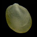
5342100000
Crenella
arenaria
T.A. de M. Monterosato,
1875
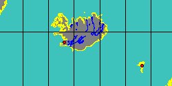
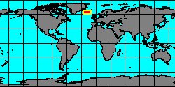
Italy, Scilla, Calabria
1,4 mm
|
|
|
|
|
|
|
|
|
|
«
Previous
1
2
3
4
5
6
7
8
9
10
11
12
13
14
15
16
17
18
19
20
21
22
23
24
25
Next
»
|
|
| | | | | | |