|
|
|

|
|
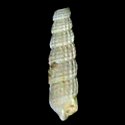
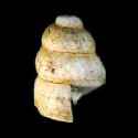
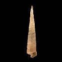
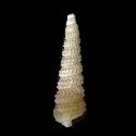
1771850955
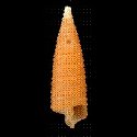
Eumetula
pulla
(R.A. Philippi, 1845)
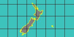
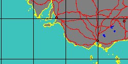
South Argentina
|
|
No Georeferenced data available
|
|
|
|
|
|
|
|
|
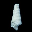
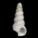
5286000140
Specula
pusilla
A. Cecalupo & I. Perugia,
2013
|
|
No Georeferenced data available
|
|
|
|
|
|
|
|
|
|
|
|
|
|
|
|
8038001183
Specula
ruali
Cecalupo & Perugia, 2017
|
|
No Georeferenced data available
|
|
|
|
|
|
|
|
|
|
|
|
|
8038001185
Specula
servadeii
Cecalupo & Perugia, 2017
|
|
No Georeferenced data available
|
|
|
|
|
|
|
|
|
|
|
|
|
5286000131
Specula
solai
A. Cecalupo & I. Perugia,
2014
|
|
No Georeferenced data available
|
|
|
|
|
|
|
|
|
|
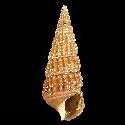
1771850965
Eumetula
strebeli
(K.H.J. Thiele, 1912)
South Argentina
|
|
No Georeferenced data available
|
|
|
|
|
|
|
|
|
|
|