 |
 |
 |
 |
| FAMILY list (thumbnails) |
 |
 |
 |
 |
| FAMILY list (names only) |
 |
 |
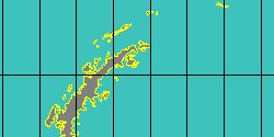
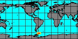
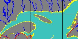
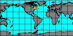
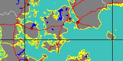
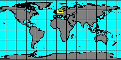
| NAUTILIDAE (geographic) |
 |
| NAUTILIDAE (thumbnails) |
|
|
| NAUTILIDAE (thumb+maps) |
|
|
| NAUTILIDAE (names only) |
|
|
| NAUTILIDAE (no synonyms) |
|
|
| NAUTILIDAE (no variety) |
|
|
Class: CEPHALOPODA
--- Taxon Tree: NAUTILOIDEA [Subclass] - NAUTILIDA [Order]
|
------ Family: NAUTILIDAE Blainville, 1825 (Sea)
DB counters: Genus=16, Subgenus=1, Species=144, Subspecies=3 ( 20 Species and 3 Subspecies have images) DB counters include Fossil taxa: Species=127, Subspecies=0 |
| ||||||||||||||||||||||||||||||||||||||||||||||||||||||||||||||||||||||||||||||||||||||||||||||||||||||||||||||||||||||||||||||||||||||||||||||||||||||||||||||||||||||||||||||||||||||||||||||||||||||||||||||||||||||||||||||||||||||||||||||||||||||||||||||||||||||||||||||||||||||||||||||||||||||||||||||||||||||||
| ||||||||||||||||||||||||||||||||||||||||||||||||||||||||||||||||||||||||||||||||||||||||||||||||||||||||||||||||||||||||||||||||||||||||||||||||||||||||||||||||||||||||||||||||||||||||||||||||||||||||||||||||||||||||||||||||||||||||||||||||||||||||||||||||||||||||||||||||||||||||||||||||||||||||||||||||||||||||