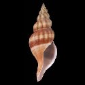
SubFamily: BUCCININAE - Genus: Retimohnia J.H. McLean, 1995 (DB: 17 SP, 9 IMG)
|
|
|
|
|

|
|
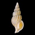
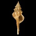
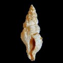
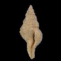
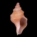
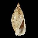
8038000117
Retimohnia
lussae
A. Kosyan & Y.I. Kantor,
2016
|
|
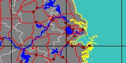
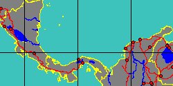
No Georeferenced data available
|
|
|
|
|
|
|
|
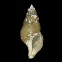
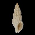
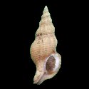
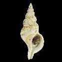
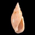
8038000118
Retimohnia
mcleani
A. Kosyan & Y.I. Kantor,
2016
|
|
No Georeferenced data available
|
|
|
|
|
|
|
SubFamily: BUCCININAE - Genus: Savatieria A. de Rochebrune & J.F. Mabille, 1885 (DB: 6 SP, 2 IMG)
|
|
|
|
|
|
|
1927858941
Savatieria
chordata
Z.J.A. De Castellanos, E. Rolán
& S. Bartolotta, 1987
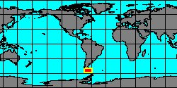
Antarctica
|
|
No Georeferenced data available
|
|
|
|
|
|
|
|
|
1927854720
Savatieria
deseadense
Z.J.A. De Castellanos
& D. Fernandez, 1975
|
|
No Georeferenced data available
|
|
|
|
SubFamily: BUCCININAE - Genus: Serratifusus T.A. Darragh, 1969 (DB: 7 SP, 6 IMG)
|
|
|
|
|
|
|
SubFamily: BUCCININAE - Genus: Siphonofusus J.T. Kuroda & T. Habe, 1952 (DB: 1 SP, 1 IMG)
|
SubFamily: BUCCININAE - Genus: Suessionia A.E.M. Cossmann, 1889 † (DB: 6 SP, 6 IMG)
|
|
|
|
|
|
|
|
|
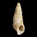
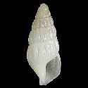
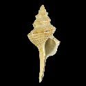
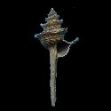
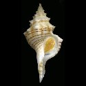
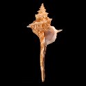
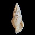
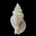
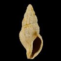
6438000025
Suessionia
exigua
(FOSSIL)
(G.P. Deshayes, 1835 † †)
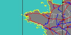
France, Paris Basin
7,5 mm
|
|
|
|
|
|
SubFamily: BUCCININAE - Genus: Thalassoplanes W.H. Dall, 1908 (syn: Brevisiphonia - DB: 2 SP, 1 IMG)
|
|
SubFamily: BUCCININAE - Genus: Tromina W.H. Dall, 1918 (DB: 1 SP, 1 IMG)
|
SubFamily: BUCCININAE - Genus: Troschelia O.A.L. Mörch, 1876 (syn: Boreofusus - DB: 1 SP, 1 IMG)
|
| | | | | | | |