Genus: Probuccinum K.H.J. Thiele, 1912 (DB: 7 SP, 1 IMG)
|
|
|
|
|
Genus: Pseudofax Finlay & Marwick, 1937 † (DB: 5 SP, 0 IMG)
|
|
|

|
|
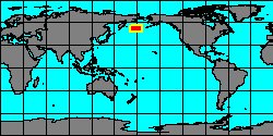
8038000240
Pseudofax
filius
(FOSSIL)
Finlay & J. Marwick,
1937 †
|
|
No Georeferenced data available
|
|
|
|
|
|
|
|
|
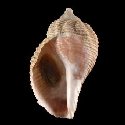
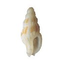
5971105127
Pseudofax
paucus
(FOSSIL)
J.D. Stilwell & al.,
2004 †
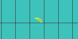
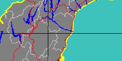
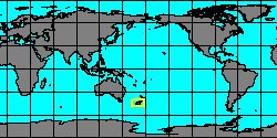
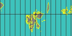
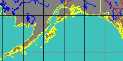
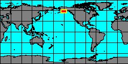
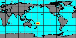
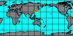
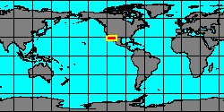
Antarctica, Seymour Island
|
|
|
|
|
|
|
Genus: Pusio J.E. Gray, 1833 (DB: 2 SP, 2 IMG)
|
|
|
|
|
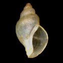
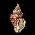
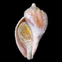
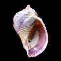
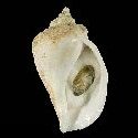
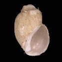
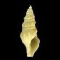
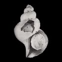
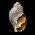
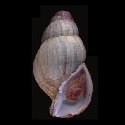
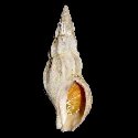
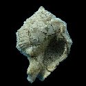
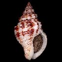
1927300035
Pusio
elegans
(E. Griffith
& E. Pidgeon, 1834)
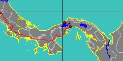
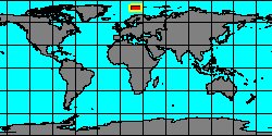
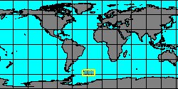
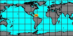
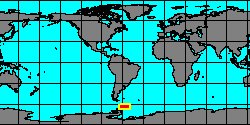
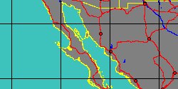
Baja California
25 mm
|
|
|
|
|
|
Genus: Pyrulofusus O.A.L. Mörch, 1857 (DB: 4 SP, 5 IMG)
|
|
|
|
|
Genus: Spikebuccinum M.G. Harasewych & Y.I. Kantor, 2004 (DB: 1 SP, 1 IMG)
|
Genus: Steye M.J. Faber, 2004 (DB: 1 SP, 1 IMG)
|
Genus: Strebela Kantor & Harasewych, 2013 (DB: 1 SP, 1 IMG)
|
Genus: Tacita V.J. Lus, 1971 (DB: 2 SP, 1 IMG)
|
|
Genus: Thermosipho Kantor, Puillandre, Fraussen, Fedosov & Bouchet, 2013 (DB: 2 SP, 2 IMG)
|
|
Genus: Trominina Oyama & Mizuno, 1958 † (DB: 7 SP, 0 IMG)
|
|
|
|
|
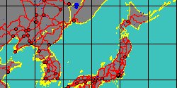
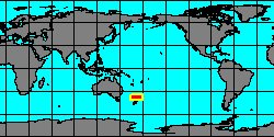
5971105577
Trominina
angasiana
(FOSSIL)
(M. Yokoyama, 1932 †)
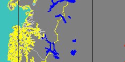
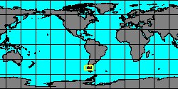
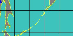
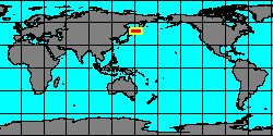
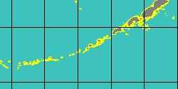
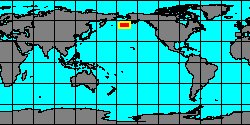
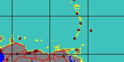
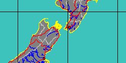
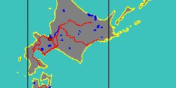
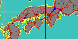
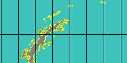
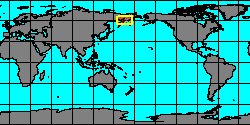
Russia, Kamchatka,
Olyutorskiy rayon
|
|
|
|
|
|
|
|
|
|
|
|
|
|
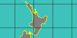
5971105581
Trominina
onnaica
(FOSSIL)
(Yokoyama, 1932 †)
|
|
No Georeferenced data available
|
|
|
|
Genus: Turrivolutopsius Tiba & Kosuge, 1979 (DB: 1 SP, 1 IMG)
|
Genus: Tyrannoberingius Marincovich, 1981 † (DB: 1 SP, 0 IMG)
|
| | | | | | | | | | | |