 |
 |
 |
 |
| FAMILY list (thumbnails) |
 |
 |
 |
 |
| FAMILY list (names only) |
 |
 |
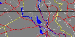
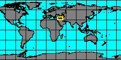
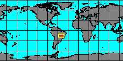
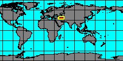
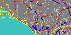
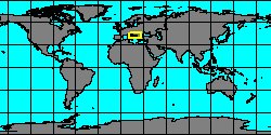
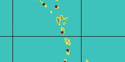
| PLANORBIDAE (geographic) |
 |
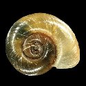
| PLANORBIDAE (thumbnails) |
|
|
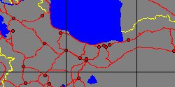
| PLANORBIDAE (thumb+maps) |
|
|
| PLANORBIDAE (names only) |
|
|
| PLANORBIDAE (no synonyms) |
|
|
| PLANORBIDAE (no variety) |
|
|
Class: GASTROPODA
--- Taxon Tree: HETEROBRANCHIA [Subclass] - PULMONATA [Infraclass] - HYGROPHILA [Order] - PLANORBOIDEA [Superfamily]
|
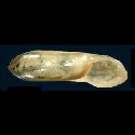
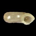
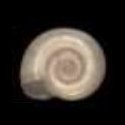
------ Family: PLANORBIDAE Rafinesque, 1815 (Freshwater)
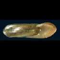
DB counters: Genus=95, Subgenus=14, Species=907, Subspecies=80 ( 200 Species and 12 Subspecies have images) DB counters include Fossil taxa: Species=127, Subspecies=11 |

|
| ||||||||
| ||||||||
| ||||||||
| ||||||||
| ||||||||
| ||||||||
| ||||||||
| ||||||||
| ||||||||
| ||||||||
| ||||||||
| ||||||||
| ||||||||
| ||||||||
| ||||||||
| ||||||||
| ||||||||
| ||||||||
| ||||||||
| ||||||||
| ||||||||
| ||||||||
| ||||||||
| ||||||||
| ||||||||
| ||||||||
| ||||||||
| ||||||||
| ||||||||
| ||||||||
| ||||||||
| ||||||||
| ||||||||
| ||||||||
|