|
|
|

|
|
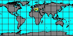
3680154360
Bulinus
umbilicatus
G. Mandahl-Barth, 1973
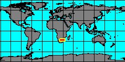
East Africa
|
|
No Georeferenced data available
|
|
|
|
|
|
|
|
|
|
|
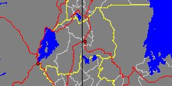
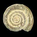
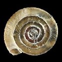
6930000762
Hippeutis
ungeri
(FOSSIL)
(A.E. Reuss in A.E. Reuss
& Meyer, 1849 †)
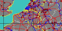
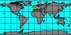
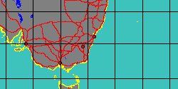
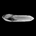
Czech Republic, Chomutov
|
|
|
|
|
|
|
|
|
|
|
|
|
|
|
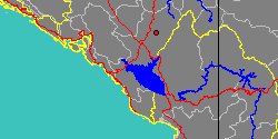
5600000022
Laevapex
vazi
F.N. Santos, 1989
|
|
No Georeferenced data available
|
|
|
|
|
|
|
|
|
|
|
|
|
|
|
|
|
|
|
|
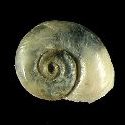
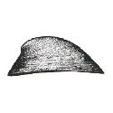
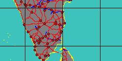
3720600390
Ferrissia
viola
T.N. Annandale
& B. Prashad, 1921
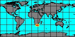
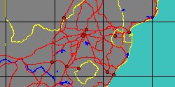
India, Cuddalore
|
|
|
|
|
|
|
|
|
|
|
|
|
|

|
|
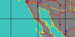
3720150030
Ferrissia
walkeri
(H.A. Pilsbry
& J.H. Ferriss, 1907)
Mexico, Baja California
|
|
|
|
|
|
|
|
|
|
|
|
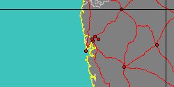
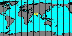
3680154370
Bulinus
wrighti
G. Mandahl-Barth, 1965
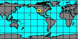
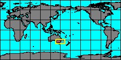
North Africa
|
|
No Georeferenced data available
|
|
|
|